Canada Centre for Mapping and Earth Observation
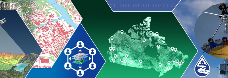
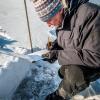
The Canada Centre for Mapping and Earth Observation (CCMEO) develops essential geographic information and location-based data using innovative research working with satellites and space agencies. Our scientists gather an accurate, authoritative archive of core geospatial data layers, land, water, and infrastructure by monitoring ground stations across Canada. This data is then standardized, harmonized, and made available to allow for easy access for federal decision-making. Our data is also open to the public.
Our vision is a secure and sustainable future for Canada, empowered by geospatial innovation.
Our mission is to advance integration of geospatial data in decision-making by strengthening geospatial capacity, from research and development to improving access to geospatial data.
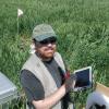
Scientists and researchers